Alligator Hole River
The Alligator Hole River Project was first conceived in 1980 as an environmental interpretation station providing public education and recreation as well as protection for rare and endangered species. It was hoped that visiting the area would encourage person to help protect Jamaica’s wildlife and support environmental protection throughout Jamaica. A booklet was developed as a guide to the wildlife of the river as seen from a canoe and was to supplement the display pace in Canoe Valley.
In 1982, the Government of Jamaica through funds from the Organisation of American States undertook the project “Wetland Wildlife for Recreation and Public Education” also known as Operation Sea Cow. Since 1987 site wardens, infrastructure, boats and equipment have been at Canoe Valley. The area includes a mixture of private and public owned land owners. Four manatees were placed in the river in the 1980’s.
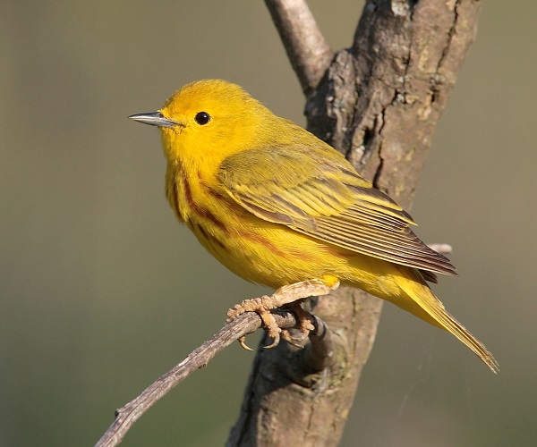
BIRD
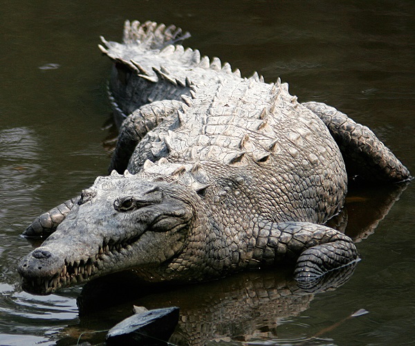
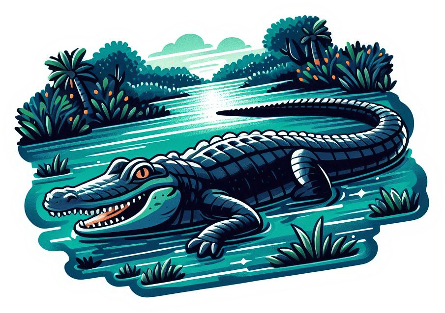
REPTILE
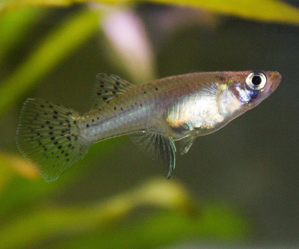
FISH / SHRIMP / CRAB
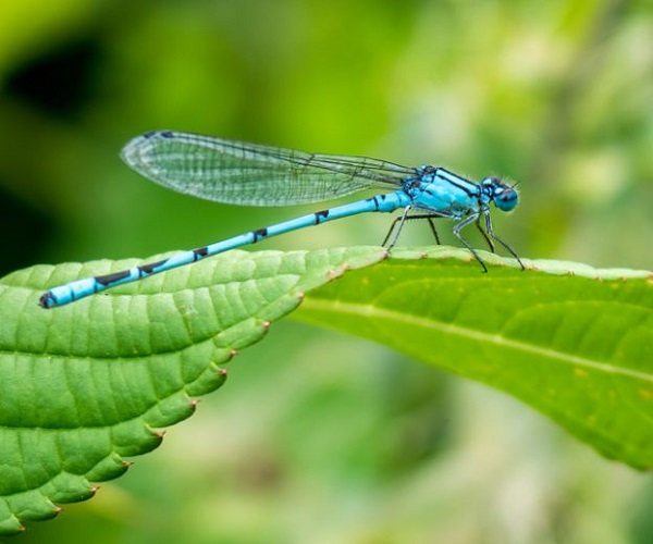
INSECT
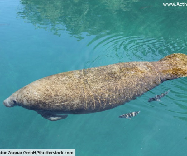
MAMMAL
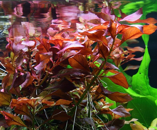
PLANT